It’s no surprise that apps have made their way into the fishing world. The best anglers have been keeping catch logs for years, and for those looking to step up their game there’s no better way to do it. Since we live in a digital age it only makes sense that catch logs make the move to digital as well.
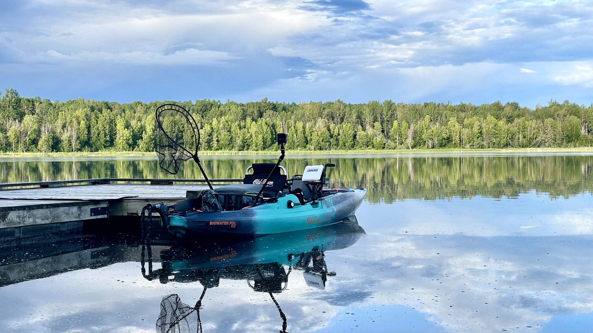
Recording critical data such as location, species, overall length, time of day and time of year can help us figure out a specific body of water and improve our angling success. If you’ve been recording these details for a number of seasons then you already know what a powerful tool your catch log is.
All that data is useful to us individually, but what if we went beyond the individual data and started to look at catch logs as a whole? Imagine what we would be able to learn from an almost bottomless well of data. That is exactly the aim of MyCatch.
What is the MyCatch App by Angler’s Atlas?
MyCatch is an app developed to help anglers track the fish they catch. You are able to log information such as date, time, species, and location. With that data the app can show you your personal catch rate as well as the average catch rate for that body of water. Not only does the app manage your catch log but it also gives you access to bathymetric maps for a dizzying number of water bodies throughout Canada. New for this year is a feature that shows anglers where Whirling Disease is in Alberta as well as information on what you can do to prevent spreading it.
The MyCatch app is not just a catch log for anglers. Through Anglers Atlas, researchers have access to a lot of critical data that they can use to help manage our fisheries.

How does the app help Researchers?
The data we collect as anglers can answer a number of questions biologists face. Researchers are interested in real time data for catch rates, species length and distribution. As well as other research topics such as the spread of whirling disease. Traditional survey methods like netting and creel surveys are expensive and as a result thousands of water bodies are left unmonitored. The more data researchers have, the better our water bodies can be managed. The recent changes and improvement in fish retention opportunities in Alberta are a direct result of having good, reliable and accurate data.

Since researchers have access to my data, will they see my fishing spots?
Don’t worry, your data is protected. The people at Anglers Atlas are anglers too, they know how hard you worked to find your spots and they are not about to spread them to the world. The details of your trip and catch log are confidentially shared with biologists and researchers for their fisheries work. Anglers Atlas makes the promise that “Your secret spot stays secret.”
How has the MyCatch app helped biologists so far?
In 2018, a study done for Alberta Conservation Association on the Bow River and Oldman/Livingstone Rivers demonstrated that data collected through MyCatch was similar to data collected through traditional creel surveys. This validation experiment proves that data of similar quality to creel surveys can be captured through the MyCatch app.
MyCatch App
I encourage you to give the MyCatch app a try this season! Not only will logging your catches help you improve as an angler, but you will also be providing valuable data to researchers that they might not otherwise get.
Did I mention the app was free?